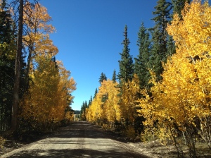
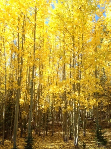
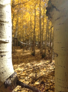
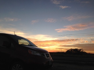
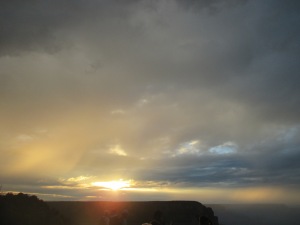
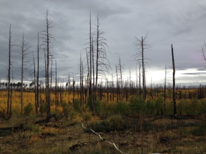
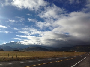
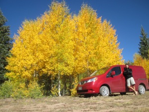
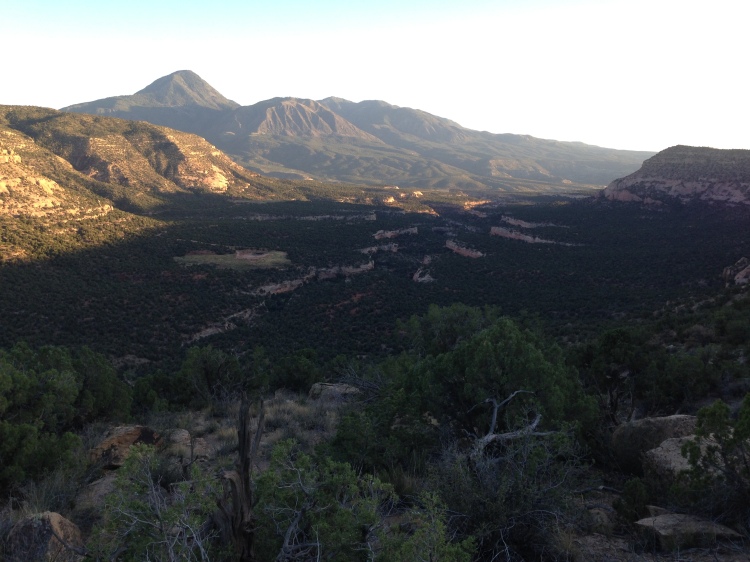
Driving through the open spaces and arid landscape of Southern Utah, I was shocked to discover Dixie National Forest. Dozens of miles of gravel roads lead me through a wonderland of lush vegetation, expansive grassland, and Aspen trees flaunting golden leaves. I always thought that the Cambodian rice fields were the green-ist green I had ever seen, now I can add to the list with yellow Aspen leaves being the yellow-ist yellow. I couldn’t help but drool looking out the windows, stopping around every turn to admire the beauty. I strung up the hammock and watched the sunset over the rolling hills.
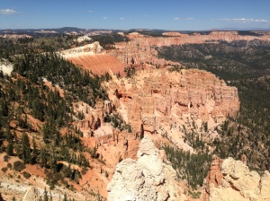
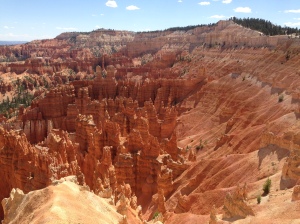
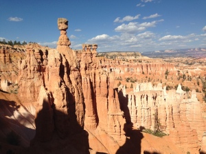
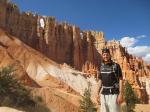
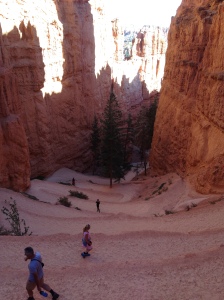
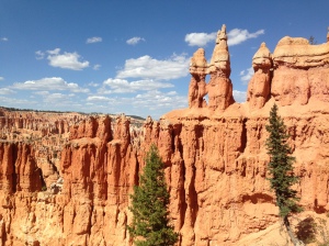
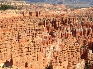
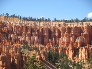
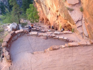
Continuing through Utah, I visited Bryce Canyon, an iconic landscape famous for its many pillars or “hoodoos”. These red and white stripped formations seem tiny from the overview, but walking amongst them revealed their gargantuan size! The climb back up to the rim of the canyon from the canyon floor followed many tight switchbacks up a slim section between two hoodoos. The trails were incredibly well maintained and it’s impressive to think about how many hours went into building the trail systems in the National Parks. The Native Americans who once lived here believed that the hoodoos were created when there ancient people were behaving bad, so the coyote god turned them to stone!
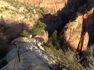
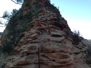
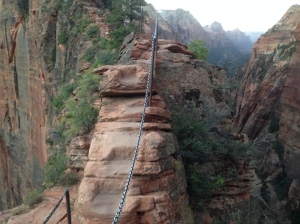
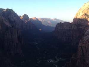
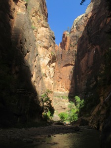
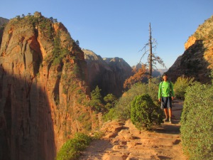
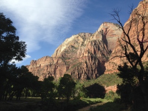
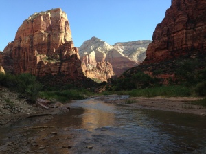
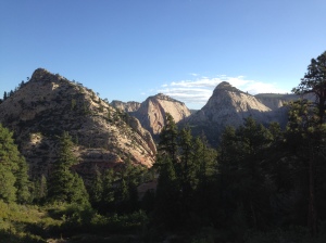
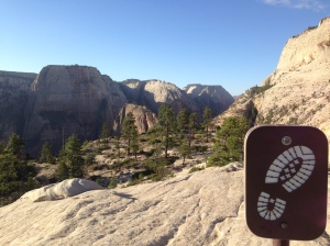
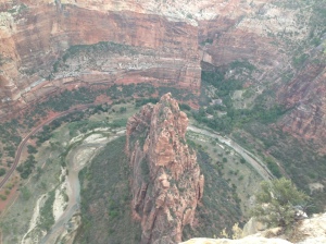
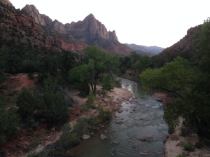
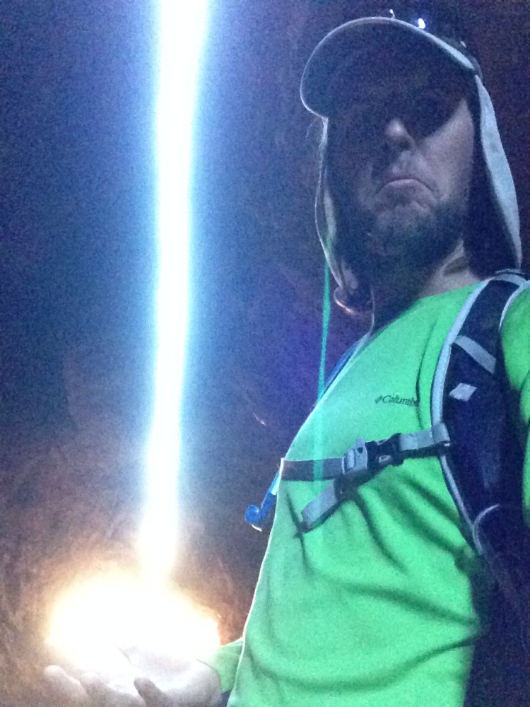
Next stop was Zion National Park. Incredibly textured canyon walls, as tall as can be, and a mile long drive through a tunnel along the canyon road. Following the recommendations of some travelers I met in Goblin’s Lair, I took the first shuttle in the morning to a famous hike known as Angels Landing. The bus dropped us off at 6:30 AM, still dark outside, I turned on my headlamp and followed the path under the stars, 2.5 miles and 1,400 feet of elevation gain. The canyon walls are so high that they appeared to blend into the starry night, as if they contained the universe. The trail climbed from the get go and had endless switchbacks for the first two miles. The last half mile however, is a five foot wide ridge with 1,000 foot drops on both sides, and a metal chain to hold onto! It was a blast and I arrived to the summit just before sunrise, around 7:20. This hike is so beautiful that during the day it becomes dangerously crowded and hikers wait in long lines at the chains to navigate around each other. I went up the mountain quick enough that I had the rare honor of the landing all to myself for a half hour before the next person arrived!
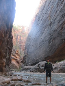
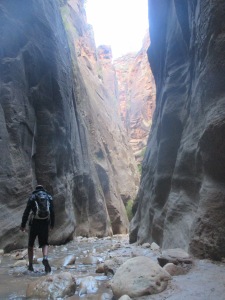
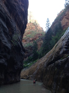
I headed down to get off the sketchy stuff as more people were arriving and took in all the scenery that was shrouded in darkness on the way up. My next hike for the day was an area known as The Narrows. This is the upper end of Zion Canyon where the river has still carved walls thousands of feet high, but the base is only as wide as the river, yet shallow. So, for 16 miles, you can literally just hike up the knee-deep water through the towering canyon walls! The beauty and depth of this canyon were beyond comprehension, it was as if my eyes were deceiving me.
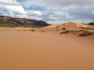
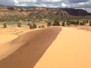
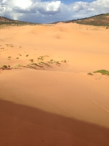
My friends in Durango, CO had told me about a neat State Park in Southern Utah, called Coral Pink Sand Dunes. Not surprisingly, they are just that! Pinkish-orange sand dunes created from deteriorating Navajo sandstone. I hiked out to the largest of them, but with a storm blowing in, I quickly made haste back to the van. I giggled to myself from the warmth of my bed as it rained cats and dogs and people ran off the dunes, soaking wet!
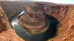
Entering back into Northern Arizona I checked out the point of many photographs, Horseshoe Bend. Here, the Colorado River has eroded a nearly complete loop into the valley floor. The blue water and red rock make for quite a site.
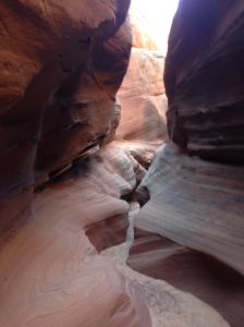
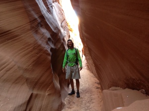
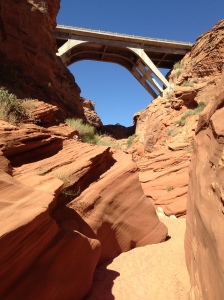
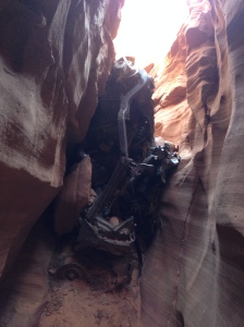
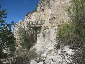
Nearby Horseshoe Bend, I wanted to check out a slot canyon. I could only go a quarter of a mile before hitting a section that would have required ropes and had to turn around. One notable point was a bridge, high above the canyon, and below it was a rusted car, crumpled up in the slot canyon below. I’d like to know the story behind that mishap!
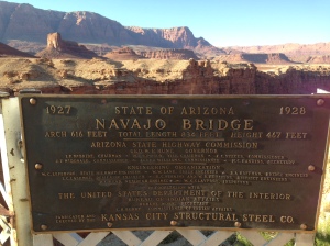
North of the Grand Canyon, along the Colorado River, resides one of the last places to cross this great chasm. An area known as Marble Canyon was the site of an engineering marvel, the 600+ feet long, Navajo Bridge, 467 feet above the river.
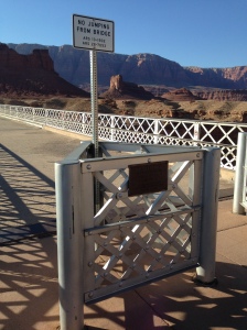
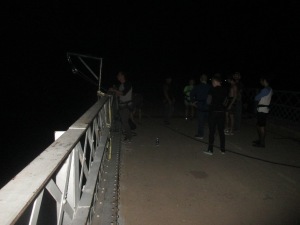
The very bridge that I would soon jump off of, attached to a bungee cord! The jump was scheduled for night-time, during a full moon, partially because the air is calmer at night, and partially because the bridge has “No Jumping” signs posted.
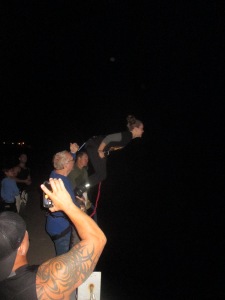
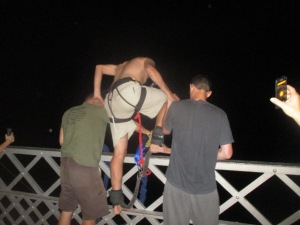
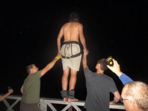
I pulled up at dusk, walked the bridge, and my hands were sweating already. The bungee master, Chris, arrived, then briefed us, before we helped him haul gear out to the center of the bridge. The process sounded simple enough, Chris strapped a huge rubber band to your ankles, you climbed the railing, standing on the brink of the void, then just jump! Afterward, a rope was lowered down, you clipped your harness to the rope, then the other jumpers pulled you up like a team of mules!
My nerves were pounding as we hauled up the jumper before me…I emptied my pockets, ditched my shoes, shirt, and hat…Chris clamped my ankles and game me the run down one final time…I took two hands and stood surprisingly calm on the five-inch wide railing…I looked out at the distant peaks, bathed in moonlight…Chris counted loudly, “3, 2, 1”…then I leapt, swan dive straight out…I don’t remember much after that point, it was all disorienting in the dark of midnight…but I fell, and fell, and fell…an odd feeling, but the mind had shut down beyond the point of being scared…catch…fling back upwards at 100 miles per hour…then I found myself above the cord and falling again back into the black depths beyond…a few more bounces and I settled, blood rushing to my head…the rope came down…I was seated upright for the ride up and got epic views of the canyon…pushed away from the metal structure of the bridge…and hopped the railing back to concrete underfoot. That was an experience I’ve long wanted, and it lived up to the wait. Great camaraderie with the other jumpers, it was the first time for all 12 of us, one man even jumped twice for his 60th birthday!
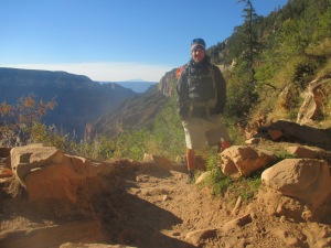
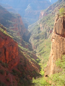
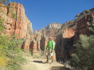
I slept in the woods just above the North Rim of the Grand Canyon, staged to hike to the bottom the following day. I slept snuggly in my winter sleeping bag, but when I woke up in the morning, my thermometer registered 27 degrees. I assembled my pack and hiked down the North Kaibab Trail, descending into the Grand Canyon around 8:30 AM, still in full armaments of clothing due to the cold.
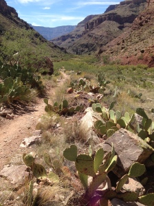
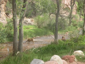
The trail immediately started with switchbacks and offered nice views of the side canyon it followed. It only took about 20 minutes until I shed all my layers and wished I had more to take off! After a substantial descent, the trail hit water, Bright Angel Creek, and would follow it all the way to the Colorado River, for a total of 14 miles and 5740 feet of elevation drop on the day.
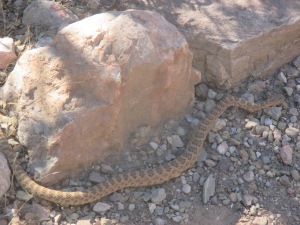
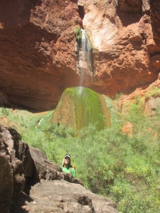
I hung out with a two foot Grand Canyon Rattlesnake in Cottonwood Campground, and another hiker recommended I take the quarter-mile side trail to Ribbon Falls.
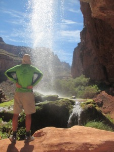
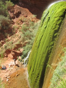
The Falls were immaculate, the most unique waterfall I’ve ever laid eyes upon. A small stream of water spouting from a sandstone shelf over a cavernous area, then landing on a massive, cone-shaped, stalagmite formation, carpeted in vibrant green moss. When the water hit the stalagmite, it pooled on top, and actually flowed out the back towards the cave, then looped down to the left side of the stalagmite through lush vegetation and created a crystal clear reflection pool on the canyon floor. An outstanding oasis of vegetation and beauty in this rocky, arid environment.
I loved seeing the bright purple fruits of the prickly pear cactus and got the notion to taste one. Behind the skin was the most decadent pink flesh, sweet and juicy, it reminded me of pink dragon fruit, but then I had dozens of micro splinters in my fingertips for the next hour…worth it!
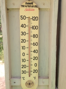
When I finally reached the campground, I discovered sandy sites, right along the river, and two thermometers, reading 102 degrees in the shade, and 120 degrees in the sun. Luckily the creek was icy cold, so everyone sat around in the water when body temperatures creeped up. In eight hours of hiking, the temperatures ranged from the dead of a Maryland Winter to the dead of a Maryland Summer!
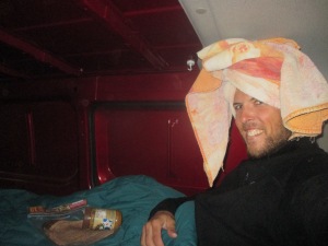
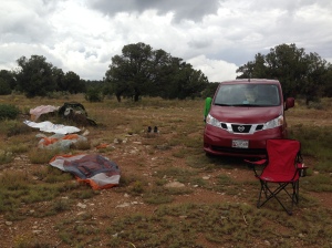
In the evening, a ranger gave an educational talk, then she took us for a scorpion hunt! The scorpions were brown and perfectly camouflaged, only about the size of a quarter. The ranger however, had a flashlight with a black light inside, which makes the scorpions glow neon yellow and very easy to spot in the dark! I slept without the rain fly on the tent that night, due to the high temperatures, but had to put it on in the middle of the night as a drizzle came in. I began my hike back out of the canyon at 6:00 AM, the first seven miles were gradual, and the drizzle and clouds provided a nice reprieve from the heat the day before. The second half of the hike climbed forever, this was the longest continual climb I think of my entire life so far, at nearly 6,000 feet. As the elevation increased, so did the rain. There was no point in wearing a rain jacket, since I sweat just as much inside of it while climbing. It wasn’t a problem until the last hour or so, I was drenched, completely soaked through from head to toe, in a steady rain, and the temperatures dropped to 50 degrees at the rim. I kept moving strong, creating lots of body heat, with thoughts of the van in mind! The last 1.5 miles of the trail were atrocious, loose slimy mud, every inch covered in donkey poop and pee and it all slopped together and ran down the trail like some stinky diarrhea water slide with diarrhea waterfalls trickling down the switchbacks at your side. The van was a welcomed site, both of my thumbs had gone to pins and needles. I got inside the cramped space, threw all my wet gear on the floor, got naked and toweled off, then put on some dry clothes. I tucked myself into the winter sleeping bag and ate everything in site: two tortillas with peanut butter, an apple, a banana, fruit snacks, cheese-its, sun chips, nutrigrain bars, and peanuts…I was ravenous! Still freezing, I fully zipped the sleeping bag and ended up falling asleep, waking up an hour or two later feeling like a human being again!
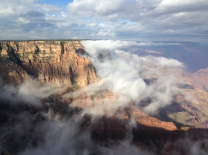
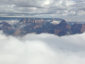
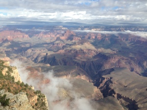
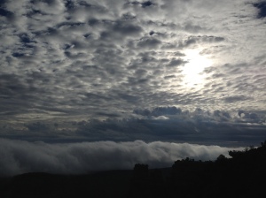
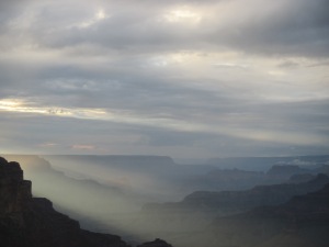
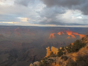
The next day, I drove around to the South Rim of the Grand Canyon to fight the crowds and see the big views of the canyon below. The canyon was still filled with fog from the rain the day before, but offered a neat view. I hung out in the nearby forest, hung my wet gear from the trees and let things air out to dry. I revisited the canyon rim for sunset and saw it just barely pop through once or twice to wish us goodnight.
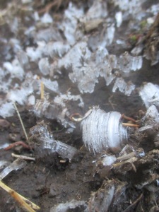
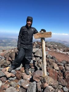
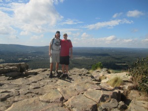
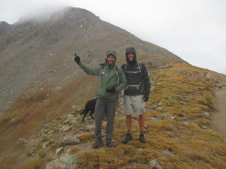
My next plan was to climb Mount Humphreys, the highest point in Arizona, but a rainy day had me wait out the day at the library in Flagstaff, AZ. The following morning, I began my ascent! The soil was still frozen solid from the night before and much of the trail surface has fascinating ice “flowers” about ½ inch tall. The five mile trail climbed several thousand feet over two hours, mostly in pines and aspens, until it popped above tree line for the final ¾ mile along a rocky ridge. The wind was whipping fiercely across the exposed rocks and my water froze in the tube of my camelbak. I had to hold the edge of my rain hood to keep the wind off my face. There were two men, around my age, at the summit, Issac and Abraham. We huddled together behind a pile of rocks as a windblock, and took a few pictures of the beauty surrounding us. After a few minutes, it was too cold to linger. We sped walked the exposed ridge back to the treeline were the forest protected us from the piercing winds for the descent.
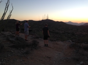
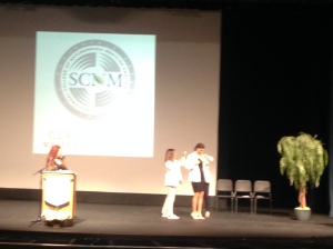
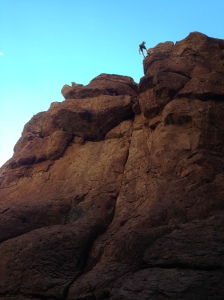
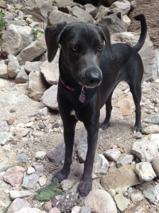
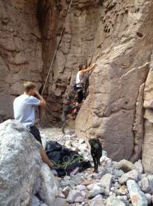
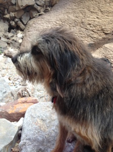
A three-hour drive South, brought me into Phoenix, AZ to meet back up with Maddie and Nathan, as well as Uncle Bryan, Aunt Lindy, and cousin Piper! We went for a sunset hike on South Mountain before bed. On Saturday, we ate lots of delicious food and, more importantly, we celebrated Maddie’s white coat ceremony as she proceeds through medical school. Piper even got to experience her first trip to a rock climbing gym and claims to have climbed even higher than Maddie! The following day, Maddie, Nathan, the dogs, and I drove out to an area called Atlantis for some real rock climbing. Neat climbing, much higher and harder than in the gym! Their friends had a very unique looking dog, Blue, that, despite his gentle demeanor, looked like a super-villan!
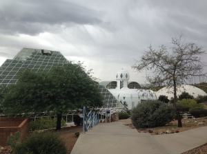
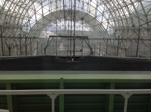
Heading out of Phoenix, I paid a visit to Biosphere 2, a massive, enclosed, bio dome where people once lived inside for two years straight to simulate and research possible colonization of another planet! I randomly arrived on the 25th anniversary of the day they began the first mission!
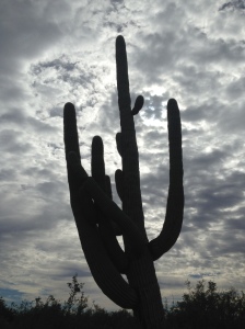
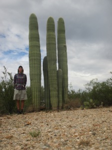
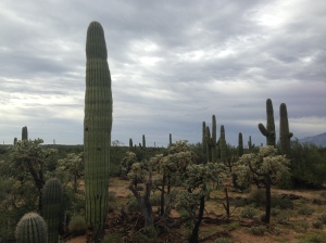
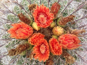
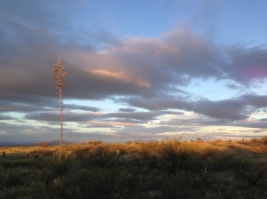
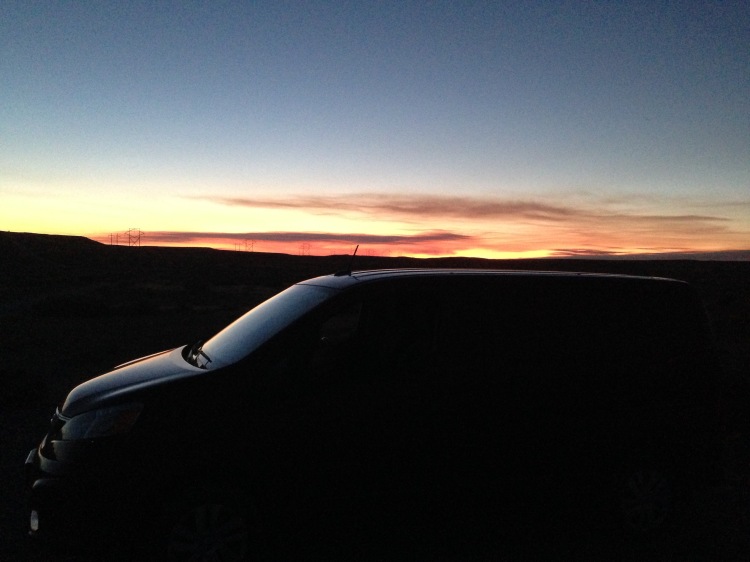
The last stop in Arizona was Saguaro National Park, home of the stereotypical cactus from the cartoons. A very neat hike through this desert climate, densely packed full of many cactus and shrub varieties. At night I had the most picturesque sunset down a lazy dirt road.
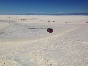
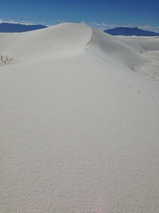
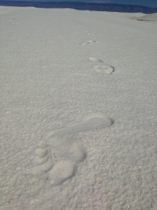
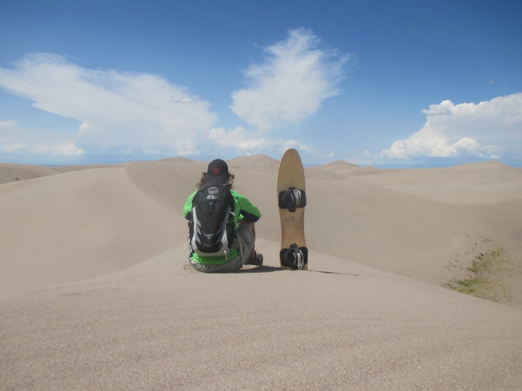
Entering into New Mexico, the next destination was White Sands National Monument. Just like the name alludes, the area was rolling sand dunes of pure white gypsum in every direction. The sand was still damp and cool from the morning rain and felt fantastic on the feet. Perfectly still and quiet out there in the middle of this expanse.
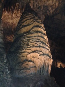
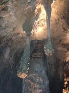
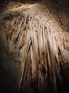
Carlsbad Cavern was my second stop in New Mexico. A large cave with massive rooms, miles of tunnels, and over 800 feet deep underground! The formations were equally as impressive, giant pillars, drippy walls, wavy curtains, and many different colors. The entire cave had a path built through it and dimly lit walls. There was even a fully functional tile bathroom, gift shop, and restaurant hundreds of feet down in the cave!
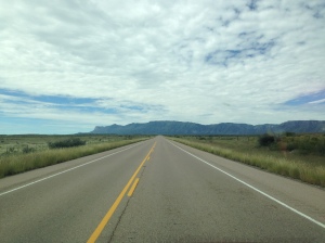
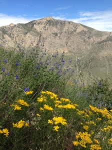
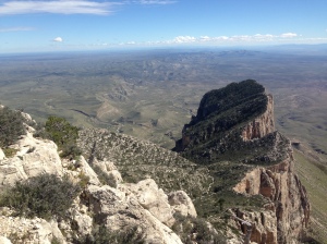
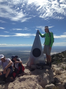
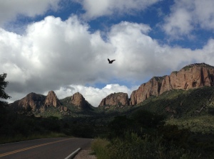
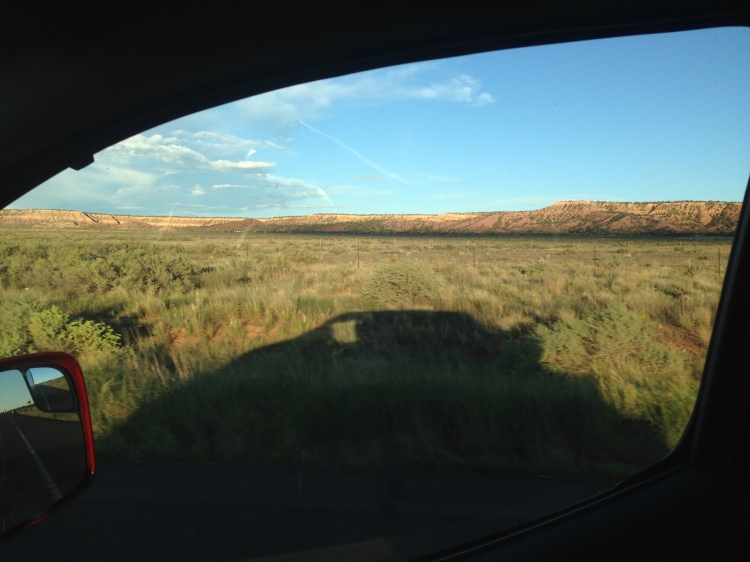
Heading South from New Mexico, I crossed into the great spaces of Texas, first to Guadalupe Mountains National Park. The mountains were dotted with green and brown, edge by tall, proud cliffs. I climbed 3,000 feet over four miles to the summit of Guadalupe Mountain, the highest point in Texas! The summit was marked by a metal pyramid dedicated to American Airlines and the old western postal route, when it was done by horses. A certain type of birds at the summit were flying at incredible speeds, when they passed close by or turned sharply, you could hear the wind tear below their wings. Texas had some of the best sunsets over the lowland scrub and stoic green mountains. Brilliant orange, deep purples, hazy blues, pinks, whites, and blacks, like an artist using every color on his pallet!
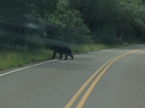
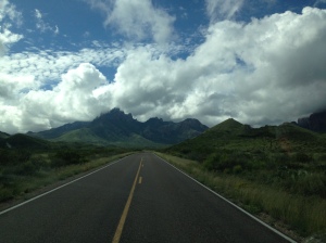
A few hundred miles along a road named The Texas Mountain Trail, took me to Big Bend National Park. Along the road I witnessed a pack of five javilinas, giant rodents which look like bristly-haired gray pigs, some antelope, a coyote, and two black bears in the park!
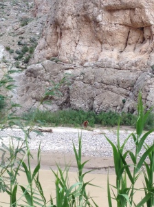
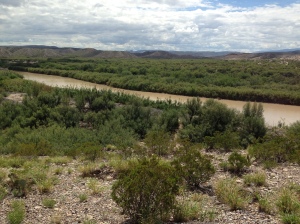
Some neat mountains in the park, but the highlight for me was going down to the Rio Grande River and looking across to Mexico on the other side! I even skipped a rock all the way across from the USA to Mexico!
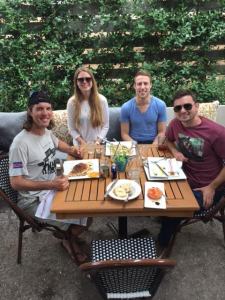
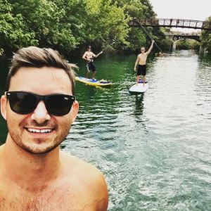
After passing through an immigration checkpoint and getting my van sniffed by a police dog, it was 500 miles from Big Bend to Austin, Texas, a long beautiful drive. In Austin, I met up with a Peace Corps friend, Sally. She showed me around some of the best taco and BBQ joints, took me swimming, and even watched bats fly out of a bridge downtown, while the sun set over the Colorado River! A wonderful day spent catching up with a wonderful woman! The next morning, Sally and I met an old friend of mine, Ross, and his friend, Josh, for brunch. After eating, Ross, Josh, and I went stand up paddleboarding (SUP) down the river and could even hear the music from the Austin City Limits music festival.
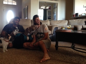
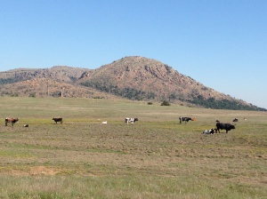
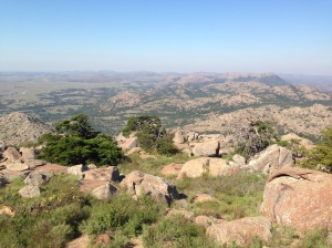
From Austin, I drove 350 miles North, to the small town of Elgin, Oklahoma, when a college friend now resides, Samit. I got to meet his new wife, Megan, and their dogs, Mackenzie, Lola, and Gizmo! Gizmo’s tongue is too long for his mouth, making him the most adorable dog ever! Megan cooked up delicious buffalo tacos for dinner, sumptuous! Samit and I drove out to Mount Scott for big views of the Wasatch Mountains and spotted some wild long-horn cows!
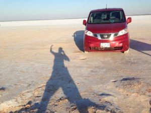
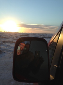
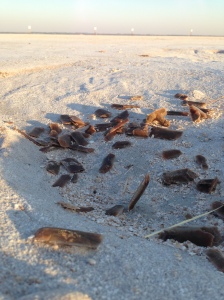
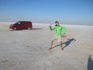
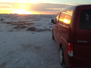
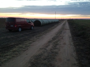
Further to the North, I visited Great Salt Plains State Park. A huge salt lake and salt flat next to each other. Driving out on the salt flat seemed like another world, white and flat as far as the eye could see. A portion of the salt flats was open to digging up beautiful crystals of salt and gypsum with a brown hourglass shape in them from the mud, known as selenite, this is the Oklahoma state crystal! Leaving the salt flats, I parked along a dirt road in a farmer’s field for the night. Around 2:00 AM, a storm blew in and the wind was so strong it was shaking my car to the point that I couldn’t fall back asleep. I drove into the nearby town of Jet where the buildings and trees seemed to stifle the wind enough to slumber once more.
Five hundred miles to the East, I entered Little Rock, Arkansas, and visited the house of a great friend, Chris. Chris and I went for a hike up pinnacle Mountain for a view of Western Little Rock, then scrambled down a steeper side to a bushwhack through the woods.
Chris showed me around Little Rock and we walked out “Big Dam Road”. When Chris’ wife, Libby, and the kids (Ethan and Elliot) arrived home, Ethan ran right up to me, very concerned, and asked, “What happened to your house?”, wondering why I was living in a van. The next morning, my alarm went off at 6:40 AM, and I got dressed for school. That’s right, school! Libby is a career development teacher at the local middle school and invited me to come in and speak to her students about Peace Corps! The sessions ran an hour each and with a few good stories and pictures, those kids ate it up! They had great questions and it was a pleasure to share that experience with them. I think their favorite part was ewww-ing at the list of bizarre foods I had eaten. Mid-day, Chris picked me up from school and we went into the old town of Hot Springs, Arkansas to see the famous old bath houses, hotels, and gangster activity from the days of old. It was an absolute pleasure to visit this family and to soak in the good, old-fashioned, Southern hospitality!
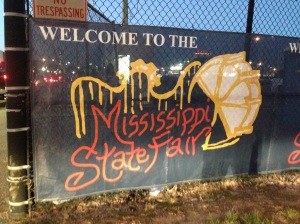
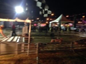
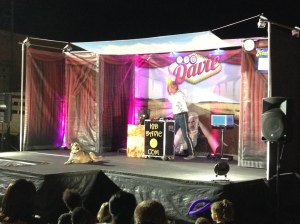
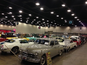
From Little Rock, my plan was to haul 1,100 miles, all they way down to my grandfather’s house in Florida, cutting through Louisiana, Mississippi, and Alabama. On the road, I looked for small things that could break up the drive, the first of which, I heard on the radio…the Mississippi State Fair! It was a fun night of watching people, pig races, games, a magician, and a classic car show. It was pretty cool, but I didn’t hear as many thick accents as I hopped to, and it didn’t seem much different from the Maryland State Fair. Sleeping in a hotel parking lot, I got woken up for the second time this summer by a cat climbing on the roof of my car!
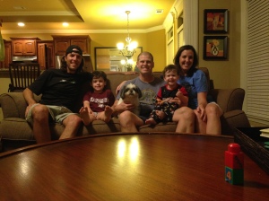
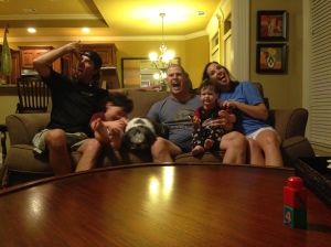
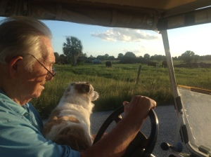
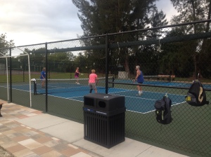
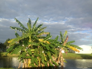
On the third day of driving, I arrived on the Gulf Coast of Florida to my grandfather’s house. I spent an entire week here, living it up in the retirement community, eating delicious home cooked meals, driving a golf cart around, working on the house, and playing lots of pickleball! His group of players get together every morning for a few hours of pickleball, and not to say that I was cocky about my abilities, but I was half their ages…they worked me up and down that court, little old ladies laughed in my face as they slammed shots over the net at me, it’s a humbling sport. Eventually, after enough days of practice, I got the hang of it and could hold my own. Around the house we worked on irrigation projects, put up hurricane shutters, planted a tree, fixed a gate, and installed a solar fan, Pop-pop and his dog, Bandit, always at my side. Out back, he had a star fruit tree with plenty of ripe fruit, I may have eaten my body weight in star fruit by the end of the week. The neighbors were so warm and friendly, each with a well-behaved lap dog and humorous banter. It was a wonderful week with wonderful company and a wonderful location, I was sad to leave!
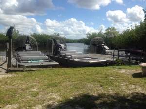
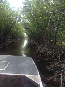
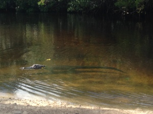
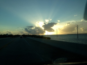
Further South, I visited the Everglades! It turns out that the National Park itself doesn’t have any hiking trails, but instead a beautiful canoe trail. I went out on a fan boat instead and got to see a few alligators. While I was so far South, I wanted to drive a bit of the Overseas Highway through the Florida Keys. Very beautiful sunset over the water, once it was dark I officially made my turn to head North back up the East Coast.
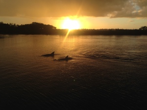
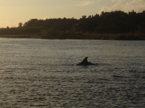
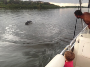
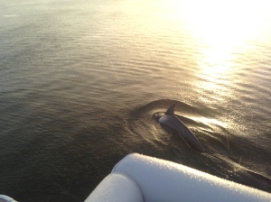
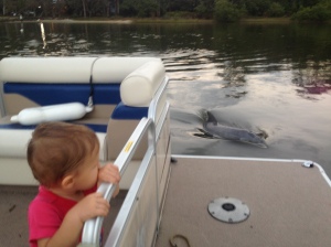
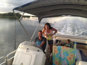
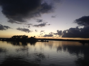
Along the Atlantic Coast of Florida, I popped in to visit my cousin, Katherine, her husband, Joey, their kids, Aydin and Grady, and their dogs, Saul and Paisley. We played with the dogs and play-dough, watched football, and cracked up at Grady giving the best stink-eye. For dinner, Joey cooked up the best fish tacos I’ve ever eaten. The second day, we decided to take out the pontoon boat after work and school. We chugged 45 minutes up the intercostal waterway before spotting some dolphins. We idled around and they continued to surface all around us for a long while. Some rain came in from the East, but only for a few minutes, leaving us chilly, but revealing an incredible double rainbow to one side and a dramatic sunset on the other, with dolphins all around! A fantastic evening with family and nature!
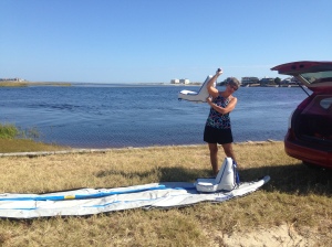
Further up the coast, I visited Aunt Janet and Uncle Steve in North Carolina. After a tour of their house, they took me to play pickleball! It was a good thing I had some practice down in Florida, their group were serious players! And some delicious BBQ didn’t hurt with the recovery effort either! The next day, we played more pickleball in the morning, then Aunt Janet and I went out on their inflatable kayak. We put in and paddled a half mile to the ocean, the tide was going out, so we moved quickly. Neither of us had ever paddled in the ocean before, so we aimed into the small waves and got a good soaking! Turning around, we through we could simply surf the waves back in, but when they pushed us from behind, it folded our kayak in half and we became swamped! Luckily, the water was only waist deep, so we simply walked it to the shore, drained it, then left it on the beach while we played in the waves for half an hour! Paddling back to the car was tough against the current, and before long we realized that the tide had dropped too much, so we walked back to the car, pulling the boat behind us in the shallows. On day three, more pickleball, what a blast! Afterward, Aunt Janet invited me on a bike ride around the neighborhood with her neighbor. They certainly are having a fun life in retirement!
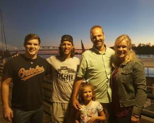
From Aunt Janet’s house, it was only a short jaunt to Uncle Bryan’s house to visit with him, Aunt Lindy, Jarrett, and Piper. In the evening, we walked along the boardwalk for dinner and feasted on delectable ice cream.
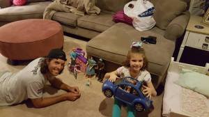
Afterward, Piper taught me how to play Barbie dolls for an hour, my favorite rule was that you couldn’t kill anyone, until she eventually decided to lift the rule and kill my dolls!
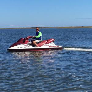
The following day, Uncle Bryan, Piper, and I took the jet-ski’s out for a few hours! Incredible fun. Piper liked to stop at the islands and play, so I just zipped around nearby and practiced 360’s and wave hopping. The jet-ski’s were very maneuverable, agile, buoyant, and blinding fast, cruising along at 45-50 mph on the flat water!
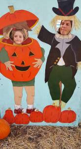
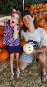
After lunch, Aunt Lindy, Piper and I went to a pumpkin patch for some decorating.
Onward to Raleigh, NC, I met up with an old friend from my very first job at the Fallston Swim Club, Megan! We hadn’t seen each other in over a decade, but picked right back up, she’s got a great sense of humor, wit, and is easy to get along with! She cooked up a gourmet dish of Chicago Chicken (bai sach moen), complete with chocolate covered strawberries for desert! In the evening we visited a Halloween decorated house and she gave me a walking tour of downtown Raleigh, but we passed on the telepathic dancing. The following morning, we broke our fast with pumpkin spice cinnamon rolls, picnic style on the lawn. With her dog, Basil, in a hot dog costume, we drove to a pumpkin patch to score some pumpkins for the afternoon carving party in her neighborhood.
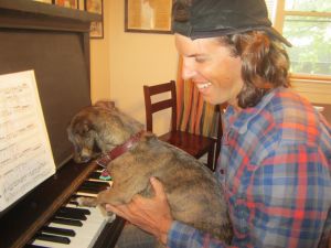
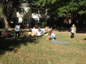
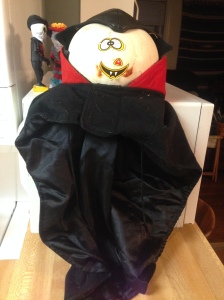
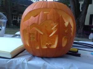
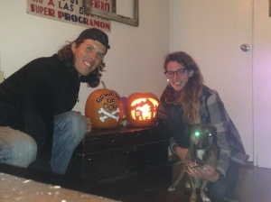
Back at the house, the neighbors gathered, there was maybe 15 of us, and equally as many dogs, it was a blast! With Megan’s artistic sketch, I carved a landscape, while she painted a “Beware of Dog” with crossbones. My favorite pumpkin however, was the image of a check engine light in your car, the carver was correct in saying it’s a scary thing! In the evening we visited a fundraiser at a local brewery, cooked pumpkin seeds, and did yoga. The last day, was low key, she taught me to play the piano and we hung out at a cafe, with Basil still in her hot dog costume, and basked in the sun on the lawn on a chilly day! Thanks Megan for all the fun, puzzles, and jokes!
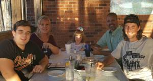
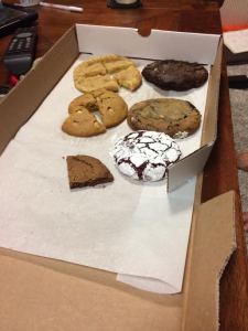
Into Virginia, I sauntered up to Richmond to visit my dear friend, Kathy, her wife, Heather, their two daughters, Sylvia and Hadley, and their dog, Kazzie! It was wonderful to see the kids and how quickly they are growing up. Kathy and I went for a night run, and one night we even ordered cookies through a late night cookie delivery company, Red Eye…they delivered fresh baked cookies right to the front door at 10:00 PM!
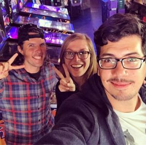
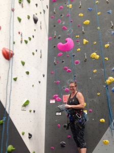
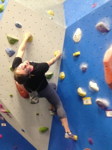
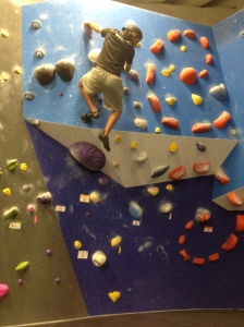
My final stop on this grand road trip was in Washington DC to visit some Peace Corps friends, Kelley, Roger, and Spencer. We played pin ball, board games, and Kelley dominated us in a hunting video game. Kelley and I twice went rock climbing at a new Earth Treks facility in DC, an absolute blast, and Kelley accomplished her hardest ever climb!
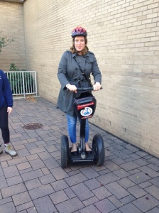
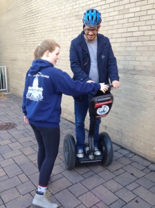
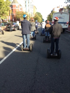
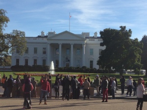
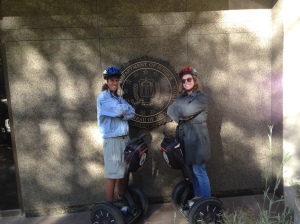
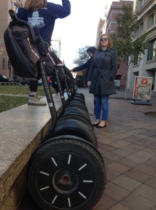
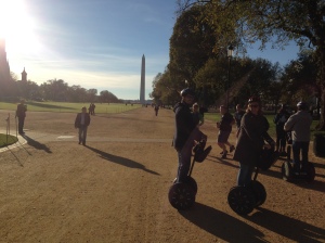
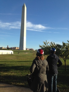
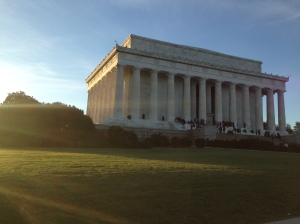
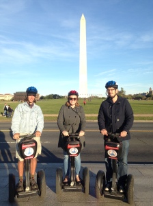
On Friday, we took a three-hour Segway tour around the National Mall, that is some serious fun. After a minute of balance practice, it was like second nature and at every stoplight we would turn in circles and goof around!
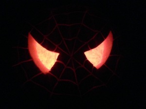
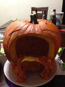
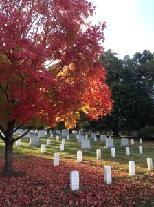
In the evening we carved pumpkins and watched videos of Bob Ross, the famous painter. On the last day, Kelley and I paid a visit to Arlington Cemetery to see JFK’s gravestone and the incredibly coordinated changing of the guard at the Tomb of the Unknown Soldier.
From DC, it was a short drive to home sweet home in Northern Maryland, where I’m currently catching up with friends and family, completing this blog, and deciding where the wind will take me next! Thank you, from the bottom of my heart for following along on this blog, all the support and well wishes mean the world. And a special thanks to all of you who took me in along the journey, it was an incredible honor. See you when you see me!!!
